When winter arrives, most people instinctively turn to familiar weather apps and forecasts to understand how cold it feels outside. These forecasts typically show air temperature, measured 1.5 metres above the ground. But when it comes to winter safety, especially in commercial environments and on road networks, there’s another temperature that matters far more: road surface temperature (RST).
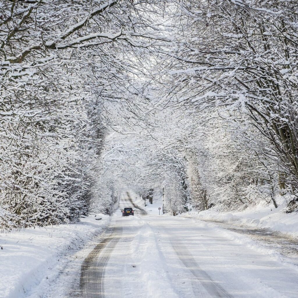
Understanding RST and why it often differs dramatically from air temperature is essential for preventing slips, trips, falls, and traffic-related accidents. Here’s why RST is the real decision-maker in professional gritting operations.
What is Road Surface Temperature?
Road Surface Temperature is the measured or forecast temperature of the road’s surface, not the air above it. Professional gritters, including Nationwide Gritting, base their decisions on RST forecasts rather than publicly available air temperature forecasts because the risk of ice comes from road freezing, not the air.
Public forecasts can easily mislead businesses into thinking their sites are safe when they’re not. Roads and pavements can hit freezing temperatures while the air still feels relatively mild – a dangerous combination that often catches people off guard.
Why RST can be very different from air temperature
The Met Office’s detailed RST forecasting model, OpenSite™, shows that surface temperatures vary with time of day, cloud cover, ground composition, and seasonal conditions. Let’s break this down.
Daytime: How roads heat differently
During daylight hours, road surfaces absorb energy directly from the sun’s radiation, unlike air. They transfer heat into the air through conduction and convection, often heating up faster and reaching higher temperatures than the surrounding air.
The reason for this is that black tarmac can become scorching hot on a summer’s day. The air might feel pleasant, while the ground is significantly warmer. In winter, even weak sunlight can temporarily lift RST above the air temperature, creating a false sense of safety before temperatures drop again later in the day.
Night-time: The critical cooling period
Once the sun disappears, the dynamic reverses. Roads lose heat more quickly than the air, especially under clear skies. Surfaces frequently drop to sub-zero levels hours before the air does. Frost then often forms on roads, grass and cars even when the air temperature remains above 0°C.
This rapid night-time cooling is one reason professional gritting teams monitor RST extremely closely. Many slips, vehicle skids and accidents occur late in the evening or early in the morning – long before air temperature forecasts indicate danger.
How winter progression changes road temperature behaviour
Between October and April, the gap between RST and air temperature shifts with the amount of heat stored in the ground.
During the early or late season (October – November/March – April), the ground retains more heat from milder seasons. RST may stay slightly higher than the air temperature early at night. However, roads can still drop below freezing unexpectedly as heat escapes.
After a cold snap or in mid-season (December – February), the ground has lost most of its stored heat. Even a slight drop in air temperature can send RST plunging. RST frequently sits much lower than the air temperature. As a result, hard frosts and black ice become significantly more likely. This seasonal shift is why graphing RST vs. air temperature shows much wider temperature gaps in mid-winter.
What factors influence Road Surface Temperature?
Several environmental and situational factors influence RST throughout the winter:
1. Cloud cover
Clouds act like a blanket, trapping heat.
Clear skies → faster heat loss → colder RST
Cloudy skies → slower cooling → warmer RST
2. Ground composition and colour
Dark surfaces store solar energy more efficiently, and different materials (concrete, asphalt, brick) heat and cool at different rates.
3. Traffic levels
Busy roads can be slightly warmer because moving vehicles generate heat. Quiet private car parks or footpaths cool much faster.
4. Stored heat at depth
Earlier in the season, the ground retains “leftover” summer heat. During prolonged cold spells, the subsurface cools, allowing RST to fall more rapidly.
Why gritting decisions must be based on RST – not air temperature
Relying on air temperature forecasts is one of the most common winter safety mistakes businesses make. Air temperature alone can’t predict whether ice will form, frost will settle, roads or paths will freeze before dawn, or shaded areas will drop below 0°C earlier.
Professional gritters use Met Office RST forecasting to plan treatments with precision. Nationwide Gritting uses OpenSite™ to deliver both site-specific forecasts for individual client locations and regional forecasts to coordinate teams efficiently. This ensures every location receives treatments based on actual risk, not guesswork.
A safer winter starts with understanding RST
Winter safety is about whether the ground beneath your feet reaches freezing point. RST forecasting is the key to preventing slips, trips, and falls and to avoiding costly downtime.
For businesses, choosing a winter maintenance provider who uses professional RST forecasting is the difference between staying safe and being caught out by invisible ice.